282 results
-
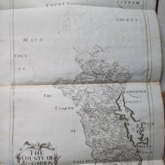
 €379William Petty map Roscommon 1683-85, Hiberniae Delineatio, first print edition
-
€120Collection of antique ordanance maps
-
€12519th Century framed map of Dublin Bay
-
€250
 Dail Eireann - Minutes of Proceedings 1919 -1921
-
€50Vintage books hood condition generally
-
€14
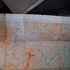
Vintage ordnance survey map of Antrim and Londonderry, good condition
-
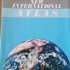
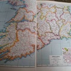
€10Bartholomew New International Atlas
-
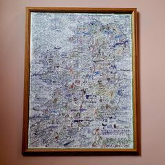
€50Vintage framed jigsaw map of ireland
-
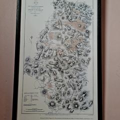
€65Vintage framed Dublin & Wicklow Map
-
€10
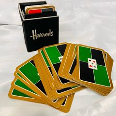
Harrods playing cards
-
€10Map
-
€145Harmsworth's New Atlas of the World
-
€3Map of Europe
-
€275Very Large Vintage 1961 German School Wall Map. Napoleons Europe.
-
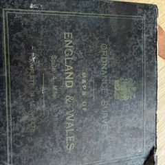
€125ordnance Survey Maps of England & Wales
-
€14
Vintage Bartholomew's map of Cork - Killarney , very good condition
-
€65Antique. Liber Status Animarum 1800s - early 1900s
-
€39County Kildare 1905 Antique Map
-
€80Kilkenny 1837 Antique Map Including Baronies
-
€14
Geographia contour road map of England and Wales, on cloth, scale 3 miles to 1 inch.
-
€5
Motoring and hiking map Wales section CC
-
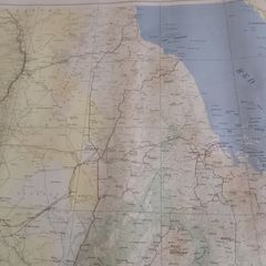
€25Vintage US Army Map Service North African Maps
-
€25
Pair of vintage Tag Heuer catalogues
-
€20
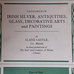
Sotheby's Catalogue Slane Castle, Co. Meath
-
€3Vintage photo mount cards with protective sheet
-
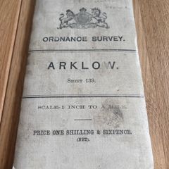
€70Ordnance Survey Map of Arklow
-
€60Flypast Magazines 1990, bundle of 15
-
€20
Irish Tourist Guide 1939, DUBLIN
-
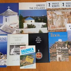
€10old europe travel guides and brochures
-
€30Dunbrody Abbey Antique Plan 1793